
Home / Services
Aerophotogrammetric Digital Restitution
The basic goal of the digital aerophotogrammetric restitution is to transform the images’ visible detail in digital mapping. This is through interpretations that reflect the levels compatible with the scale, captured in aerial photografy of aerialphotography software.
For the implementation of the coating using a camera aerophotogrammetric Wild, properly calibrated and a twin-engined aircraft. We use the System Airborne LASER SCANNER added to a medium format digital camera. The first step is to locate the area to be covered by their geographical coordinates, with the technical planning. After the execution of the coating are carried out analysis of the quality of the air film and geometric quality of coverage and then be made copies the photos and photomounting index.
The graphical editing consists in the treatment of returned elements, where the files are manipulated to make the informations interpretable as techinical specifications.
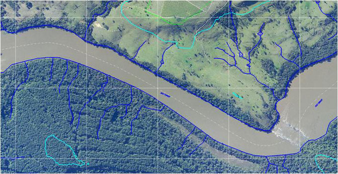
 Orthophoto of Londrina’s city.
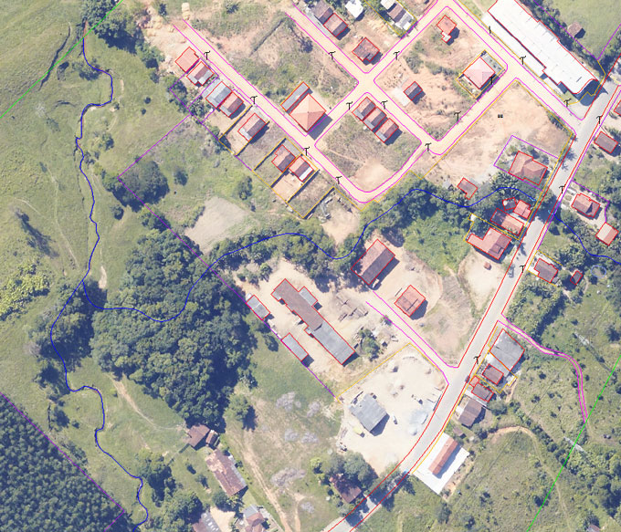
Aerophotogrammetric Digital Restitution.
 Orthophoto with Aerophotogrammetric Restitution Digital.
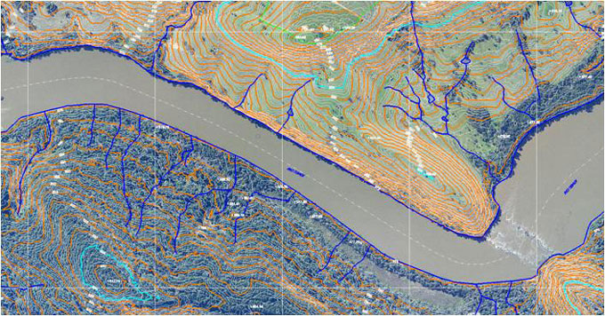
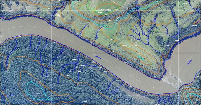 Orthophoto with restitution with countours 1m.
