Home
Structure
FIDUCIAL currently has their own technical tools to perform all activities inherent to the mapping aerophotogrammetric steps, taken from the air and field services, to the generation of their final products, with complete independence from the market in achieving of contracted services.
FIDUCIAL has an updated framework in the question aerophotogrammetric survey and mapping laser. The company has two twin-engine aircraft, approved by the brasilian agency ANAC - National Civil Aviation Agency - to perform specialized aerialphotography air services. The aircrafts operate with the most advanced technology LiDAR- LASER SCANNER and aerophotogrammetric digital camera.
The Optech's LASER SCANNER - LiDAR are the result of partnership with Lactec Technologic Institute and it offers more accurate cartographic products. The LiDAR technology scans the terrain being able to generate dense and accurate digital models of both the topography and the vertical structure of the surface. For any application requiring digital elevation models with high density and high-resolution, the laser mapping offers unique technical capabilities, low processing time and low operating cost compared to traditional forms of data collections.
In photogrammetric division, the company has three Digital Photogrammetric Stations as well as several advanced Softwares avaible in the cartography, aerotriangulation AeroSys DPS-GS version 5.4, 6 and 7.
Inside of the items in the aerial mapping technology, the company hasten graphic stations, digitizer table, Photo Scanner and Plotter. Besides to have for storey locomotion four geodetic GPS. And to operate these products and to finalize the processes FIDUCIAL has the best technical team, with experience and highest quality.
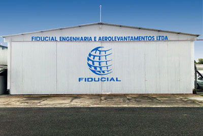 Airport hangar located in the Bacacheri Airport, in Curitiba-PR.
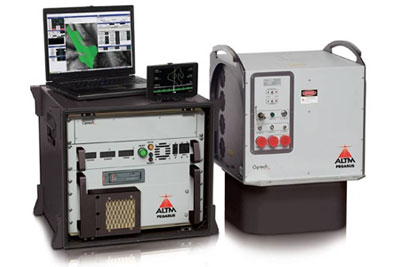 New laser Scanner used, by Optech, the Pegasus HD 500.
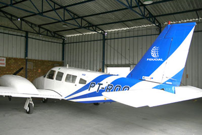 Sêneca III, na aircraft of Fiducial.
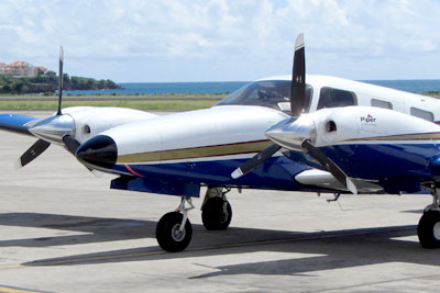 Sêneca V, na aircraft of Fiducial.
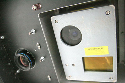 System Laser Scanner and Digital Camera Aerophotogrammetric.
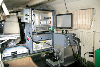 System Laser Scanner e Câmara Digital Aerofotogramétrica combined the aircraft.